SnowCarbo products
The objective of the SnowCarbo project is to develop a system that will be able to provide reliable annual maps of carbon balance for northern latitudes (boreal forest zone and sub-arctic zone). The carbon balance estimation methods are developed and validated in test areas of northern Finland and possibly also in neighbouring EC countries. The main test area is the Sodankylä-Pallas test site that is especially aimed for calibration and validation of present and future space-borne environment and climate monitoring instruments. However, the system and results are demonstrated also for the Baltic EC countries.
The novel monitoring information provided by the SnowCarbo system can be directly used in decision making concerning environmental and climate policies. The digital map information on carbon sinks and sources may also enable the development of tools to estimate carbon balance in the scale of forest holdings, which would have a major significance for forestry. The produced information can also be used for the assessment of real levels and trends of green house gas concentrations, especially related to the separation of anthropogenic sources from the natural background.
The main results of the SnowCarbo project include:
Demonstration of the mapping of carbon sources and sinks in boreal forest zone (northern Finland, northern Eurasia)
- 10 yearly (2001-2010) carbon balance assessment maps covering with a high spatial resolution the Sodankylä-Pallas region of northern Finland and with moderate resolution for the Baltic EU-countries
- These maps will assess the short term inter-annual and spatial variability in carbon sinks and sources, and provide a sensitivity estimate for small scale variations in carbon balance
Carbon balance calculator for use of general public
- Numerical estimates of carbon balance and its interannual variations in specified locations
Demonstration of the assessment of the natural background carbon sources from the anthropogenic influence
- Mapped Earth system model (general circulation model + carbon cycle) simulation results showing the atmospheric load of the anthropogenic emissions
- Mapped biospheric components for different seasons
- Total column averages
Reports outlining the importance of land cover information for net carbon balance mapping/monitoring
- Assessment of the land cover data needs for carbon balance mapping
- Assessment of the suitability of the global land cover classifications for carbon balance mapping
- Detailed land cover maps with high spatial and thematic resolution covering the Sodankylä-Pallas region of northern Finland
- Assessment of the accuracy of the global and continental land cover information for the needs of net carbon balance mapping/monitoring
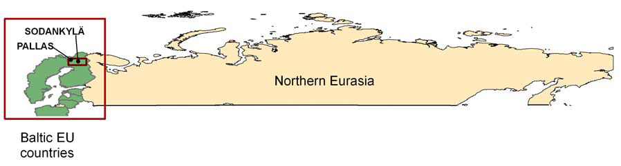 Figure 1. The area covered by the products